Support
Designing truck routing for navigation
Yandex Maps
In 2022, Michael led the design of truck routing for Yandex Maps – a feature previously available only in Yandex Navigator. Working under tight technical and time constraints, he adapted the existing car-based flow to support truck-specific routing without duplicating logic.
He introduced a preset-based input model to simplify setup for drivers, collaborated on custom icons for different vehicle types, and worked with engineers to implement dynamic restriction rendering. The solution launched without marketing support and reached 90,000 MAU organically. In 2025, it was scaled to 10+ regions in Turkey, confirming both market demand and technical flexibility.
Product
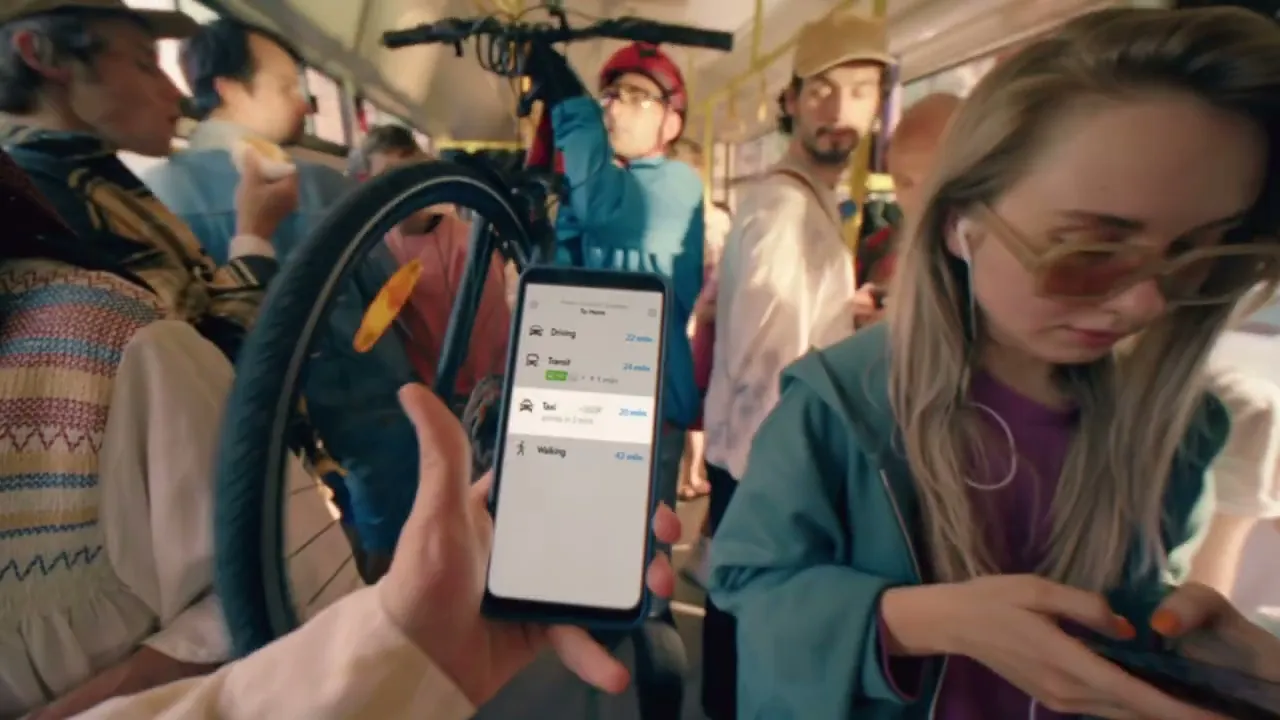
Yandex Maps is a widely used b2c application in the CIS region, primarily in Russia. It combines location search, reviews, and navigation, serving as a daily tool for route planning and local discovery. For many users, it’s the starting point when deciding how to reach a destination or which route to take.
Product video by Stereotactic. Michael was not involved in production.
By 2022, Yandex maintained two navigation apps: Maps and Navigator. While Navigator already supported truck routing, Maps did not. As Maps evolved into a more universal platform with a growing user base, the team aimed to introduce truck routing there as well.
With over 6.5 million trucks operating in Russia, the feature had clear potential to expand usage and improve safety for professional drivers who were already relying on the app despite its lack of truck-specific logic.
What he did
Michael led the design of truck routing for Yandex Maps, adapting it to the app’s existing car-based navigation architecture.
He started by auditing competitor apps and Yandex Navigator, identifying common UX patterns and key user inputs. Alongside the PM, he reviewed anonymized usage data, which revealed that most drivers only entered a few key parameters – height, weight, and axle count. These insights informed a simplified input model based on three presets: light, medium, and heavy trucks.
Given that many users drove different vehicles or used personal phones for work, presets helped reduce friction and error rates. Michael defined the logic behind each preset and mapped them to real-world vehicle types and known traffic restrictions.
To make selection more intuitive, he collaborated with a graphic designer to create clear, fixed icons for each truck type. These icons were integrated into the routing interface and turn-by-turn navigation.

Used for communication purposes only. In-app icons were simplified to ensure clarity in turn-by-turn navigation
Simulated navigation with different truck types – icons and restrictions adapt based on the selected preset

Michael also explored additional cues like color-coding but discarded them after testing due to poor legibility and lack of real-world reference
Michael worked closely with engineers to adapt the existing flow and support dynamic rendering of restriction signs. Instead of maintaining a large asset library, the system drew numeric values over base glyphs, making it more scalable and easier to localize.

Throughout the project, he operated under tight deadlines and unclear ownership boundaries. Most design decisions were made independently, with limited feedback or iteration opportunities.
Outcomes
Truck routing was successfully integrated into the existing car navigation flow without requiring major architectural changes. The use of presets lowered the barrier to entry for drivers with limited technical knowledge or incomplete vehicle data.
Preset selection and routing
Custom preset and navigation
100,000+
Monthly active users in the first year
20,000+
Daily active users in the first year
The feature launched in October 2022 and gained traction organically, without any marketing or promotional support. Its adoption by commercial drivers confirmed that the preset-based approach and integration into the existing flow met real user needs.
In 2025, the same solution was scaled to over 10 regions in Turkey, where no comparable truck routing service was available. This demonstrated both the adaptability of the design and the relevance of the problem across markets.
Learnings
The project confirmed the broader relevance of truck routing and showed that the existing navigation stack could support new use cases with minimal architectural changes.
The feature launched without marketing support and gained adoption organically. More proactive communication – through targeted promotion or clearer in-app entry points – could have increased visibility and helped drivers discover the feature.

Released version – low discoverability
Alternatives with clearer entry via vehicle type context
One critical limitation remained: the app did not provide real-time warnings for physical hazards during navigation. This was a known risk, deferred due to time constraints. The project moved quickly with limited feedback or validation, which helped ship on schedule but made it harder to catch edge cases. Future iterations would benefit from earlier cross-functional alignment.